Afternoon sunshine will return Wednesday with highs in the mid to upper 50s. Another dry day Thursday with afternoon highs in the mid 50s and a few more afternoon clouds.
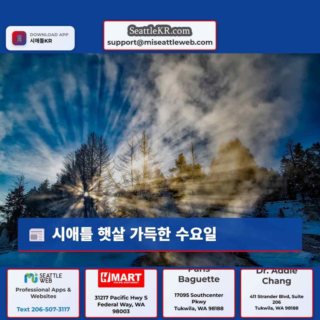
SEATTLE – Sunshine returns Wednesday with dry conditions expected in the Puget Sound area through Friday morning.
Weak high-pressure overhead will lead to drier conditions the rest of Wednesday and Thursday in Western Washington. High temperatures will remain close to average, in the mid 50s.
Big picture view:
A weak atmospheric river will move into the area Friday and Saturday. This will bring moderate to heavy rainfall at times, breezy wind, and high surf to Western Washington. Showers will be close by for trick-or-treaters. Kids should go out early to avoid the rain, though it will be close by around sunset.
Snow levels will be high, so this storm will be a wash-out in the mountains. 3 to 5 inches of rain is expected in the Olympics and the northern Washington Cascades.
What’s next:
Rain showers will ease up on Sunday, and we’ll be looking at scattered showers at times next week.
Wind, rain causes power outages across Puget Sound region
Deputies investigate deadly shooting in Shoreline, WA
Here’s how much a Walmart Thanksgiving meal will cost this year
Metro stabbing in Seattle leaves 1 person injured
No SNAP benefits to be issued in November, USDA confirms
Fallen tree causes deadly ‘mass incident’ at Halloween event near Roy, WA
Here are WA’s top ski areas for value this ski season, study says
To get the best local news, weather and sports in Seattle for free, sign up for the daily Seattle Newsletter.
Download the free LOCAL app for mobile in the Apple App Store or Google Play Store for live Seattle news, top stories, weather updates and more local and national news.
The Source: Information in this story comes from weather models interpreted by Seattle meteorologists Abby Acone and Brian MacMillan.
트위터 공유: 시애틀 햇살 가득한 수요일